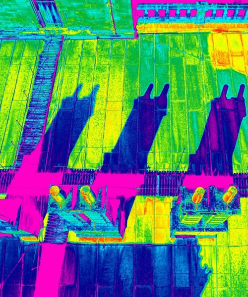
SenseImage Technologies has a unique capability to acquire and merge thermal and RGB imagery using high performance Unmanned Aerial Systems (UAS) and advanced image processing applications to produce highly accurate two and three dimensional mappings of the thermal characteristics of any structure. Data acquisition is quick, comprehensive, accurate and highly detailed, including absolute temperature measurements.
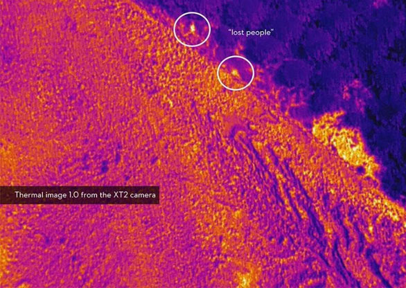
Remote sensing from UAS platforms are enormously important in a wide variety of environments. In addition to being used in first response settings, thermal imaging expands the range of tasks a robotic device can perform in high-risk environments or during emergencies.
