
Drone Services for Real-World Operations
SenseImage provides drone-based services for defence, infrastructure, utilities, mining, and government organisations across India. Our teams capture accurate aerial data and deliver outputs that support better operational decisions.

Our Drone Services
What We Deliver
Comprehensive aerial inspection, mapping, defence, and testing capabilities tailored for critical infrastructure.
Defence and Counter-UAV
Drone systems for defence operations, counter-UAV interception, and critical security missions across India.
Learn More →Drone Inspection Services
Aerial inspection for infrastructure assets including power transmission lines, industrial facilities, and remote locations.
Learn More →Drone Survey and Mapping
Aerial survey, mapping, and geospatial data capture for sites, terrain, and infrastructure corridors.
Learn More →Construction Support
Drone-based guide wire deployment and site support for transmission line construction across difficult terrain.
Learn More →Monitoring and Detection
Pipeline monitoring and gas detection using drone-mounted sensors for oil and gas and industrial operations.
Learn More →Drone Testing and Certification
DGCA type certification support and defence evaluation testing through ADART — India's first drone testing centre.
Learn More →Serving Critical Industries Across India
Industries We Support — SenseImage drone services support organisations where accurate aerial data improves safety, efficiency, and decision-making.
More Than Flying a Drone
From Aerial Data to Actionable Information
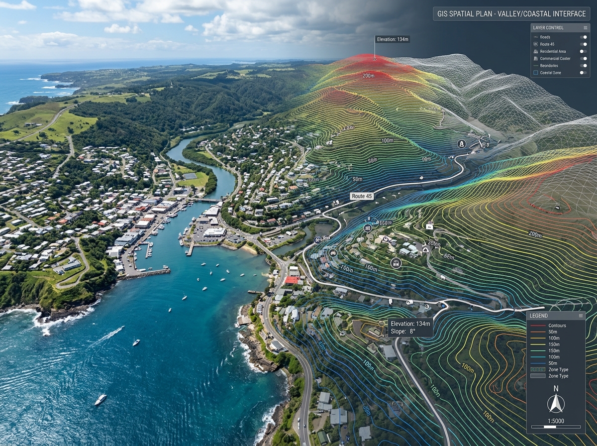
Every drone service SenseImage delivers produces outputs your team can use — inspection reports, survey maps, thermal imagery, point clouds, gas detection data, and geospatial datasets.
A Simple Five-Step Process
How Our Drone Services Work — An engineering-grade 5-step process from initial consultation to final output delivery.
Understand Requirement
Aligning mission objectives, site conditions, regulatory permits, and deliverable specifications.
Plan the Mission
Designing autonomous flight paths, selecting sensors, and establishing Ground Control Points (GCPs).
Capture Aerial Data
Executing field operations safely using certified drone pilots and high-precision sensor payloads.
Process & Analyse
Transforming raw imagery and point clouds into calibrated 3D models, reports, and thermal analytics.
Deliver Outputs
Providing CAD, GIS, PDF, and cloud-accessible deliverables formatted for immediate engineering use.
Why Choose SenseImage
Experienced. Field-Ready. India-Based.
Proven operational track record supporting India's critical infrastructure and defence projects.
100+ projects delivered across India and internationally.
In-house drone platforms & payloads for every mission requirement.
Experienced field teams for remote, hostile, and difficult environments.
Engineering-grade outputs for planning, compliance, and operations.
ADART partner for DGCA drone testing and certification support.
DGCA & Defence Compliant with certified UAV pilots and security clearances across India.
Frequently Asked Questions
Everything you need to know about SenseImage drone services, payload technologies, compliance, and deliverables.
SenseImage provides drone-based inspection, survey and mapping, construction support, pipeline monitoring, gas detection, and drone testing and certification services across India.
SenseImage serves defence and security, power transmission, oil and gas, mining, and government organisations.
Yes. SenseImage delivers visual inspection, thermal inspection, aerial survey, LiDAR survey, corridor mapping, and GIS mapping using in-house drone platforms and payloads.
Outputs depend on the service. Common deliverables include inspection reports, orthomosaic maps, point clouds, thermal imagery, GIS datasets, and gas concentration maps.
Yes. SenseImage has delivered projects across India and internationally including Sri Lanka, Bhutan, Malaysia, and Georgia.
Contact SenseImage through the form below or email info@senseimage.in. Our team will respond within 24 hours.
Get In Touch
Discuss Your Requirement
Have a specific inspection, survey, monitoring, or construction requirement? Talk to our team about the right drone-based approach for your project.
Hours
Monday – Friday
10:00 AM to 06:00 PM (IST)
Follow Us