
Why Drone Operations for Power Utilities
Conventional Inspection Cannot Keep Up
Utilities operate across remote corridors where conventional power transmission inspection methods are slow and risky.
How We Support Power Utilities
End-to-End Support Across the Transmission Lifecycle
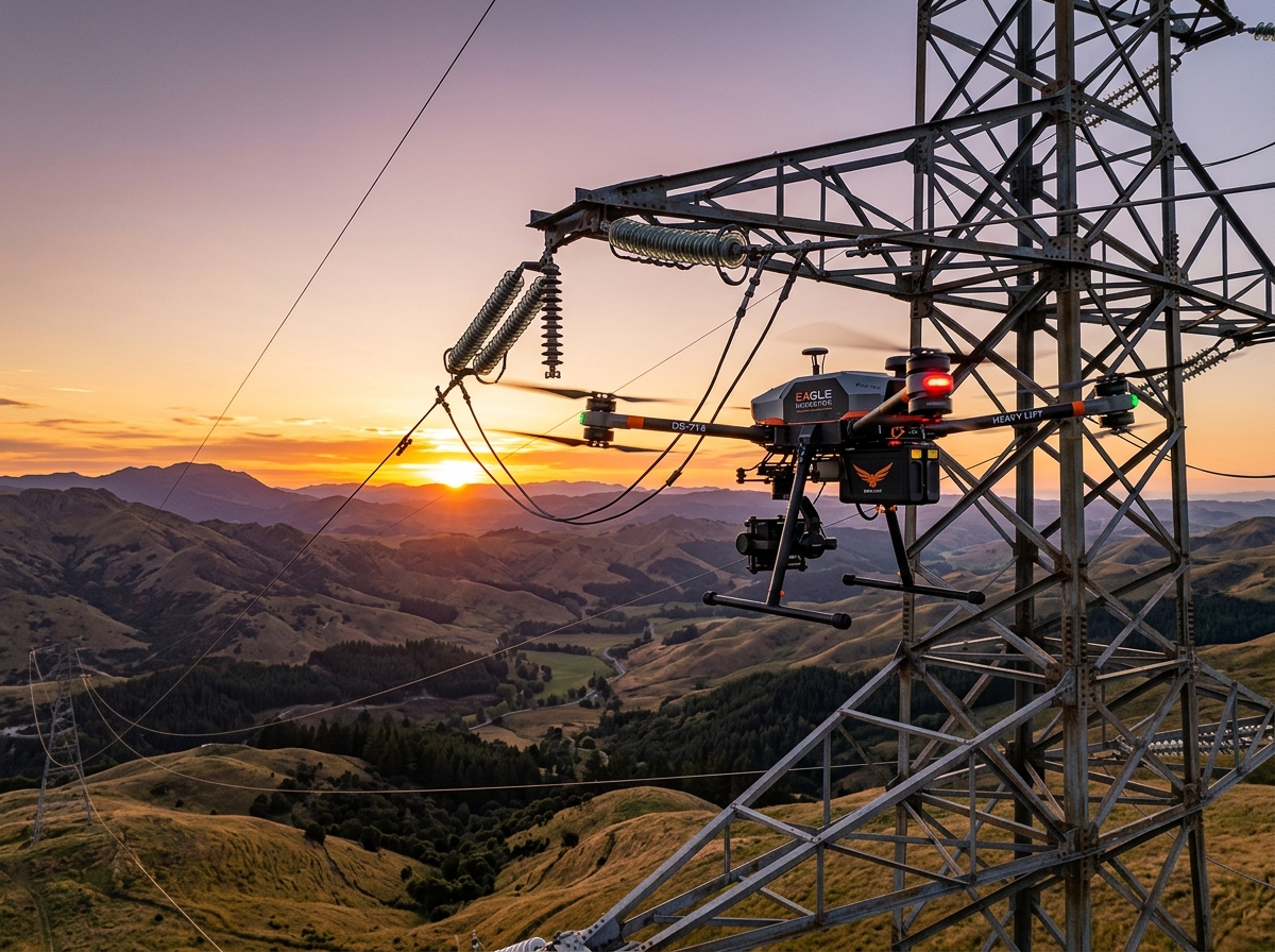
Transmission Line Inspection
What It Is
Drone utility inspection with visual and thermal imaging of towers, conductors, insulators, and assets.
What We Inspect
Transmission towers and structures
Conductors and cable lines
Insulators and fittings
Hardware and connections
Transmission corridors and right-of-way
What You Get
Early fault detection before failures occur
Reduced manual inspection requirements
Improved maintenance planning and scheduling
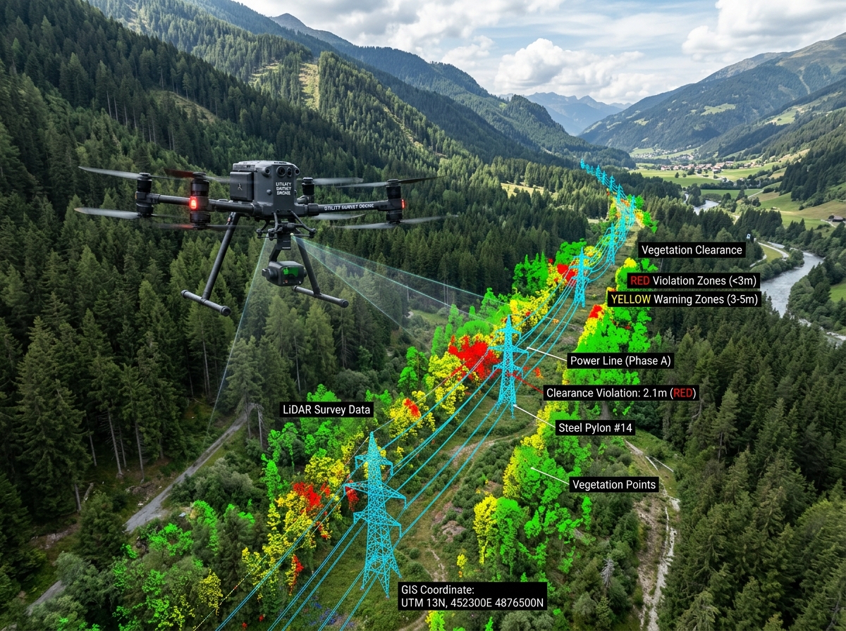
Corridor Survey and Mapping
What It Is
Aerial surveys for planning, design, and documentation of transmission corridors.
What We Deliver
Corridor mapping and route documentation
Route survey for planning and design
Topographic survey and terrain data
LiDAR survey for engineering applications
GIS mapping and spatial datasets
What You Get
Accurate planning data for design teams
Faster project execution and approvals
High-quality geospatial intelligence

Power Line Stringing Support
What It Is
Drone-assisted guide wire deployment across difficult terrain.
Where It Helps
Mountainous and steep terrain
River crossings and water bodies
Valleys and forested corridors
Dense vegetation and restricted zones
Remote and inaccessible locations
What You Get
Faster stringing across difficult terrain
Lower field manpower and safety risk
Reduced overall project timelines

Thermal Inspection
What It Is
Thermal imaging to identify overheating components before failures occur.
Applications
Hotspot detection on energised assets
Connector and joint inspection
Tower and structure monitoring
Substation and switchyard monitoring
What You Get
Predictive maintenance data for planning
Reduced risk of unplanned outages
Improved long-term asset reliability
Relevant Experience
Trusted Across Major Projects
Expertise across surveying, GIS, inspection, and drone operations.

L&T Powerline Inspection
Drone-based inspection and survey support delivered for L&T’s power transmission projects.
Why SenseImage
Why Choose SenseImage for Utilities
End-to-end drone inspection and surveying capabilities.
In-house UAV platforms and payloads for every mission.
Expertise in GIS, DGPS, and LiDAR workflows.
Thermal and RGB imaging for comprehensive asset intelligence.
Experienced field teams for challenging and remote environments.

Modernise Your Power Transmission Operations
Inspect faster, reduce risk, and improve infrastructure decisions with our drone power line inspection services.
Talk to an Expert